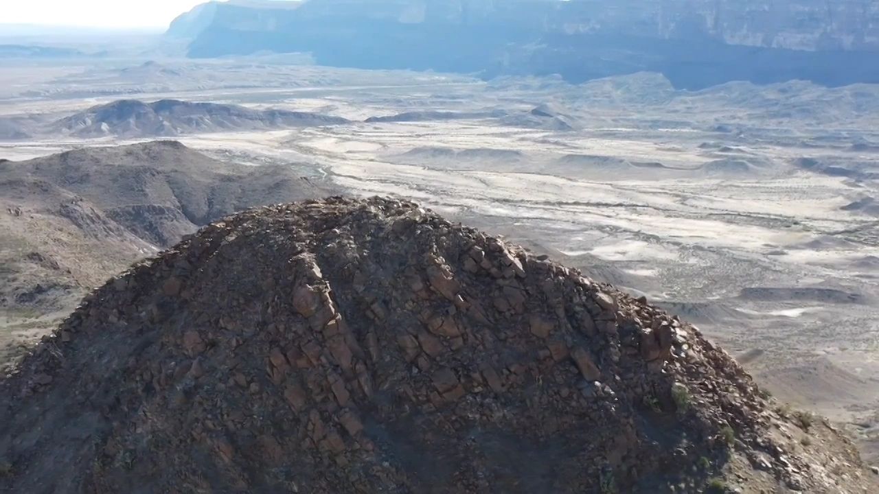

Accurate aerial data, mapping, and high-quality visuals for construction, inspection, events, real estate and property analysis.

Drone Mapping & Orthomosaics
- High resolution stitched aerial maps
- Accurate imagery for planning & analysis
- Ideal for construction sites and land development

- Infrastructure inspection
- Construction progress tracking
- Consistent aerial updates over time

- Land development & planning
- Volume calculations
- Construction monitoring
Visual Inspections
- Safe, efficient inspection of hard to reach areas
- Bridges
- Cell towers
- Water tanks
- Utilities
- Windmills

- Property analysis
- Land planning & development
- Clean, high-quality images for listings & marketing
- Real estate aerial photography

Public Safety & Emergency Support
- Available to support search and rescue teams, emergency response operations, and situational awareness efforts using aerial imaging when requested.
About Drone Versatility

We Deliver
- High resolution aerial maps
- Detailed site imagery
- Visual data collection
- FAA UAS certified pilot
- Insured